

Geospatial AI that runs in the browser.
Detect buildings, vehicles, ships, solar panels, and more — on satellite & aerial imagery — without a GPU backend.





Live demos → · Docs → · Agent skill →

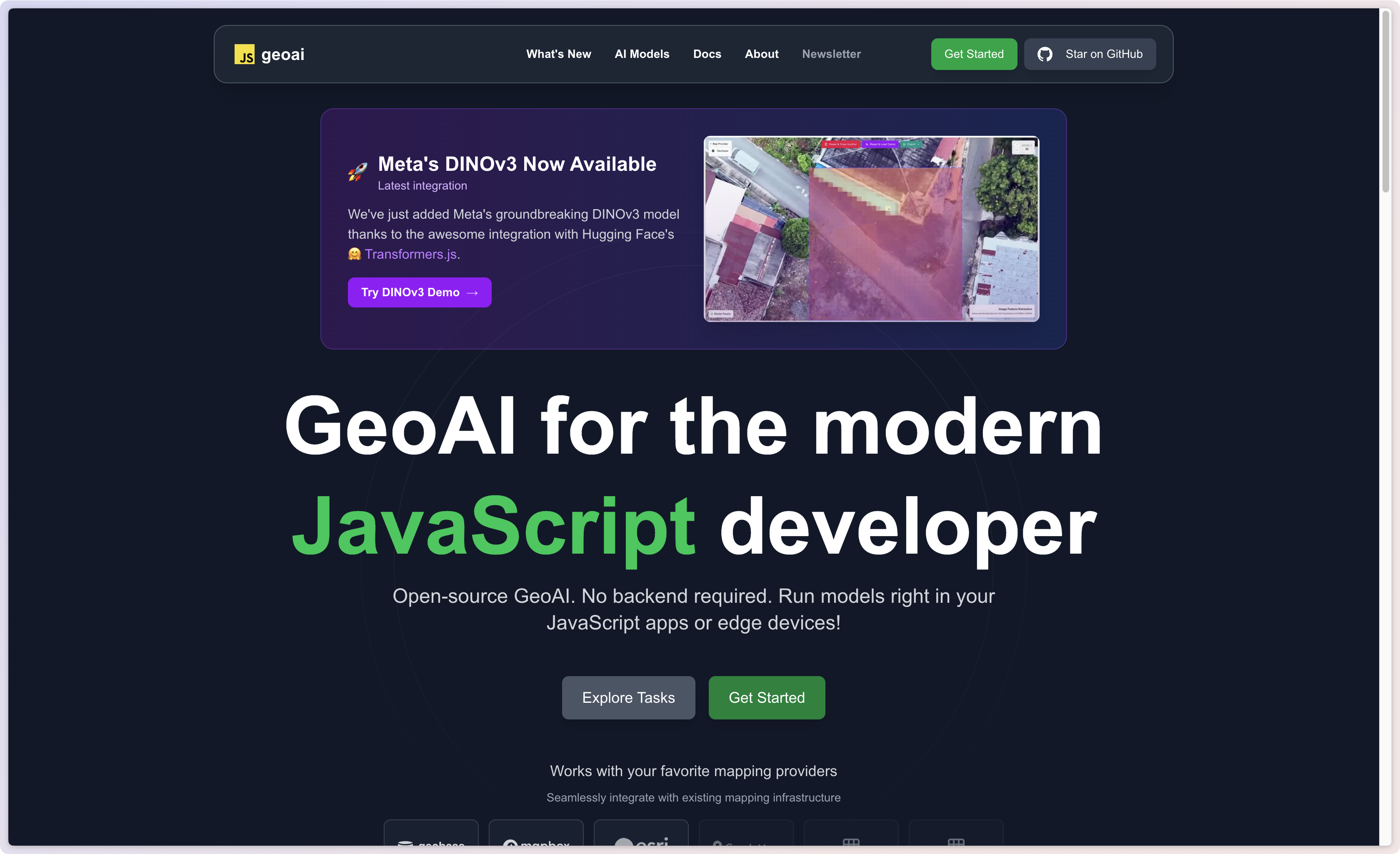
DINOv3 image feature extraction in the browser — try it at docs.geobase.app/geoai-live
| Client-side | Models run in the browser (WebGPU / WASM) via Transformers.js + ONNX Runtime |
| Draw → detect | Pass a GeoJSON polygon; get detections back as GeoJSON |
| Your imagery | ESRI, Mapbox, Geobase COGs, TMS, WMS, OpenAerialMap, Google Map Tiles |
| Pipeline-ready | Chain tasks; run inference off the main thread with workers |
npm i geoai
# peers
npm i @huggingface/transformers onnxruntime-web
import { geoai } from "geoai";
const pipeline = await geoai.pipeline([{ task: "building-detection" }], {
provider: "esri", // no API key
});
const result = await pipeline.inference({
inputs: { polygon: myGeoJsonPolygon },
mapSourceParams: { zoomLevel: 18 },
});
// result.detections → GeoJSON FeatureCollectionCDN:
<script src="https://unpkg.com/geoai@1.0.7/geoai.js"></script>
<!-- or -->
<script src="https://cdn.jsdelivr.net/npm/geoai@1.0.7/geoai.min.js"></script>GeoAI.js is built for product teams and researchers who need interactive geospatial AI — not batch jobs on a remote GPU cluster.
- Urban inventory — building footprints & boxes for planning, insurance, or change tracking
- Energy & infrastructure — solar panels, oil storage tanks, utility assets
- Transport & logistics — cars, trucks, ships in ports and yards
- Environment — land cover and wetland segmentation over AOIs
- Exploration — zero-shot detection and DINOv3 embeddings for similarity search
Draw an AOI on a map, run a model, store or style the GeoJSON — all in one frontend session.
Persist detections, sync in real time, and serve results as vector tiles.

Full-stack demo: draw → detect → save to PostGIS (Supabase or Geobase) with live map layers
| Stack | What you get |
|---|---|
| Supabase | Auth, PostGIS storage, realtime subscriptions for detection history |
| Geobase | Same PostGIS path plus vector tileserver for thousands of styled detections |
| MapLibre / React | Interactive task demos (live); also 01-quickstart |
| deck.gl | GPU-friendly overlay workflows |
| Agent skill | Cursor / Claude / Codex integration via skills/geoai |
Quick links:
- Example app + guide:
examples/04-geoai-supabase-geobase-integration - Integration write-up:
INTEGRATION_GUIDE.md - Interactive tasks: docs.geobase.app/geoai-live
Point the pipeline at the imagery you already use:
| Provider | Auth | Notes |
|---|---|---|
| ESRI | None | World Imagery — great default for demos |
| Mapbox | Token | Satellite styles |
| Geobase | Project + API key | Your COG / tileserver |
| TMS | Optional | Any {z}/{x}/{y} raster URL |
| WMS | Usually none | OGC GetMap (e.g. NRW orthophotos) |
| OpenAerialMap | None | HOT Imagery STAC + TiTiler |
| API key | Map Tiles API (session + XYZ); prefer a server proxy in browsers |
// Free public imagery
{ provider: "esri" }

// Community aerial (OAM)
{ provider: "oam" /* , itemId, mosaic: true */ }

// Your COG on Geobase
{
  provider: "geobase",
  projectRef: "...",
  apikey: "...",
  cogImagery: "https://path-to-your-cog.tif",
}

// Google Map Tiles (enable Map Tiles API; avoid HTTP-referrer–only keys)
{ provider: "google", apiKey: process.env.GOOGLE_MAPS_API_KEY }
Docs: Map providers
Object detection · Building detection · Building footprint segmentation (ChangeStar) · Car · Ship · Solar panel · Oil storage tank · Oriented object detection · Land cover · Wetland · Mask generation · Zero-shot detection & segmentation · Image feature extraction (DINOv3)
Keep the UI smooth — run inference in a Web Worker. Patterns for vanilla JS and React live in the skill and docs (there is no separate geoai/react package export; use the worker + hook examples).
git init
git subtree add --prefix=examples/01-quickstart \
  https://github.com/decision-labs/geoai.js main --squash
cd examples/01-quickstart && npm install && npm run devTeach coding agents how to integrate GeoAI.js:
npx skills add decision-labs/geoai.js --skill geoai -y
# or globally
npx skills add decision-labs/geoai.js --skill geoai -g -y- Skill source:
skills/geoai - LLM docs index: llms.txt
- Full corpus: llms-full.txt (
pnpm docs:llms)
Bringing Earth Observation AI to the Browser with WebGPU — Big Data from Space 2025 (Decision Labs).
- Docs — docs.geobase.app/geoai
- Live examples — docs.geobase.app/geoai-live
- npm — geoai
- Roadmap — _docs4devs/ROADMAP.md
- Discussions — GitHub Discussions
- Issues — GitHub Issues
See CONTRIBUTING.md.
MIT — LICENSE.md